Canjadude
Village in Gabú Region, Guinea-Bissau
12°5′N 14°14′W / 12.083°N 14.233°W / 12.083; -14.233 Guinea-Bissau
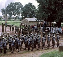
Canjadude is a village in the Gabú sector of the Gabú Region in north-eastern Guinea-Bissau. It lies to the south of Uelíngarà.[citation needed] Canjadude, along with Catió and other camps were besieged by the Portuguese in 1973.[1]
References
- ^ Translations on Sub-Saharan Africa, Issues 1390-1397. United States. Joint Publications Research Service. 1973. p. 29.
External links
- Maplandia World Gazetteer

 | This Guinea-Bissau location article is a stub. You can help Wikipedia by expanding it. |
- v
- t
- e


