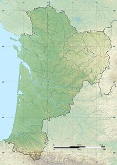
River in southwestern France
Show map of Nouvelle-Aquitaine | Location |
|---|
| Country | France |
|---|
| Physical characteristics |
|---|
|
| Source | |
|---|
| • location | Peyrehorade |
|---|
| |
| Mouth | |
|---|
• location | Adour |
|---|
• coordinates | 43°32′46″N 1°11′41″W / 43.54611°N 1.19472°W / 43.54611; -1.19472 |
|---|
| Length | 9.4 km (5.8 mi) |
|---|
| Basin size | 5,200 km2 (2,000 sq mi) |
|---|
|
| Discharge | |
|---|
| • average | 188 m3/s (6,600 cu ft/s) |
|---|
| |
| Basin features |
|---|
| Progression | Adour→ Atlantic Ocean |
|---|
The Gaves réunis (French pronunciation: [ɡav ʁeyni]) is a 9.4 km river in southwestern France connecting Peyrehorade to the Adour at Bec du Gave.[1] It is formed by the confluence of the Gave de Pau and the Gave d'Oloron. It is navigable for 8 km from the confluence with the Adour until the town Peyrehorade.[2]
See also
References
- ^ McKnight, Hugh (2005). Cruising French Waterways, 4th Edition. Sheridan House. ISBN 9781574092103.
- ^ Fluviacarte, Gaves réunis