Kaikohe Hill


Kaikohe Hill
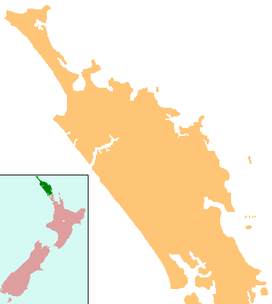
Kaikohe, New Zealand
Kaikohe Hill (also Tokareireia) is a 282 m high basaltic scoria cone in the Kaikohe-Bay of Islands volcanic field in New Zealand. It is on the western edge of the town of Kaikohe.

Kaikohe Hill centered in map of surface volcanics with basaltic scoria and lava fields (brown) of the Kaikohe-Bay of Islands volcanic field. To its north is the violet shaded rhyolitic deposits of Putahi and red shaded andesite of Tarahi. Clicking on the map enlarges it, and enables panning and mouseover of volcanic feature name/a and ages before present. The key to the other volcanics that are shown with panning is basalt - brown, monogenic basalts - dark brown, undifferentiated basalts of the Tangihua Complex in Northland Allochthon - light brown, arc basalts - deep orange brown, arc ring basalts -orange brown, rhyolite - violet,dacite - purple), andesite - red , basaltic andesite`- light red), rhyolite - violet , ignimbrite (lighter shades of violet), and plutonic - gray.
References
- Geological Society of New Zealand
External links
- View from near the Hone Heke Memorial, on Kaikohe Hill.
- v
- t
- e


