Treloar, Missouri
Unincorporated community in Missouri, U.S.
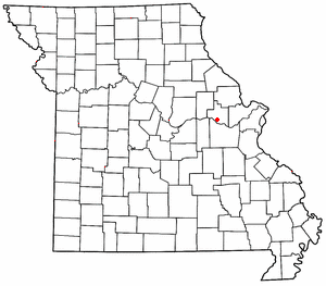
Treloar is an unincorporated community in southern Warren County, Missouri, United States.[1] It is located on the north edge of the Missouri River floodplain and Kochs Creek enters the floodplain just west of the community. Route 94 passes just south of the community and Warrenton is twelve miles to the north.[2]
History
A post office called Treloar has been in operation since 1897.[3] The community has the name of William M. Treloar, a state legislator.[4][5]
References
- ^ U.S. Geological Survey Geographic Names Information System: Treloar, Missouri
- ^ Treloar, MO, 7.5 Minute Topographic Quadrangle, USGS, 1973 (1986 rev.)
- ^ "Post Offices". Jim Forte Postal History. Retrieved December 30, 2016.
- ^ Eaton, David Wolfe (1918). How Missouri Counties, Towns and Streams Were Named. The State Historical Society of Missouri. p. 369.
- ^ "Warren County Place Names, 1928–1945". The State Historical Society of Missouri. Archived from the original on June 24, 2016. Retrieved December 30, 2016.
- v
- t
- e
Municipalities and communities of Warren County, Missouri, United States
County seat: Warrenton
- Foristell‡
- Marthasville
- Truesdale
- Warrenton
- Wright City

- Innsbrook
- Pendleton
- Three Creeks
- Bridgeport
- Camp Branch
- Charrette
- Hickory Grove
- North Elkhorn
- Pinckney
- South Elkhorn
communities
- Abattis
- Minden
- Morsey
- Prairieview
‡This populated place also has portions in an adjacent county or counties
- Missouri portal
- United States portal
38°38′40″N 91°11′17″W / 38.64444°N 91.18806°W / 38.64444; -91.18806
 | This Warren County, Missouri state location article is a stub. You can help Wikipedia by expanding it. |
- v
- t
- e


