Grand-Auverné
Gemeente in Frankrijk  | |||
|---|---|---|---|
  | |||
| Situering | |||
| Regio | Pays de la Loire | ||
| Departement | Loire-Atlantique (44) | ||
| Arrondissement | Châteaubriant-Ancenis | ||
| Kanton | Châteaubriant | ||
| Coördinaten | 47° 36′ NB, 1° 20′ WL | ||
| Algemeen | |||
| Oppervlakte | 34,4 km² | ||
| Inwoners (1 januari 2021) | 767 (22 inw./km²) | ||
| Hoogte | 37 - 88 m | ||
| Overig | |||
| Postcode | 44520 | ||
| INSEE-code | 44065 | ||
| Detailkaart | |||
 | |||
| Foto's | |||
 | |||
| Gemeentehuis | |||
| |||

Grand-Auverné is een gemeente in het Franse departement Loire-Atlantique (regio Pays de la Loire) en telt 723 inwoners (2005). De plaats maakt deel uit van het arrondissement Châteaubriant-Ancenis.
Geografie
De oppervlakte van Grand-Auverné bedraagt 34,3 km², de bevolkingsdichtheid is 21,1 inwoners per km².
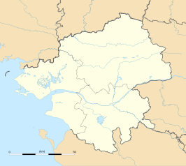
De onderstaande kaart toont de ligging van Grand-Auverné met de belangrijkste infrastructuur en aangrenzende gemeenten.
 |
Demografie
Onderstaande figuur toont het verloop van het inwonertal (bron: INSEE-tellingen).

Externe links
- (fr) Statistische informatie op de website van INSEE
Mediabestanden
Zie de categorie Grand-Auverné van Wikimedia Commons voor mediabestanden over dit onderwerp.


