White Plains (Georgia)
| White Plains | |||
|---|---|---|---|
 | |||
| Land |  USA USA | ||
| Delstat |  Georgia Georgia | ||
| Fylke | Greene County | ||
| Postnummer | 30678 | ||
| Retningsnummer | 706 | ||
| Areal | 13,07 km²[1] | ||
| Vannfylt arealandel | 1,02 % | ||
| Befolkning | 239[2] (2020) | ||
| Bef.tetthet | 18,29 innb./km² | ||
| Antall husholdninger | 83 | ||
| Høyde o.h. | 211 meter | ||
 White Plains 33°28′37″N 83°02′18″V | |||
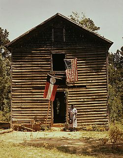
White Plains er en amerikansk by som ligger i Greene County i Georgia.
Byen hadde 239 innbyggere i 2020,[3] og dekker et areal på 13,07 km².
Historisk befolkningsdata
| Folketelling | Befolk. | %± | |
|---|---|---|---|
| 1870 | 374 | — | |
| 1880 | 459 | 22,7 % | |
| 1890 | 510 | 11,1 % | |
| 1900 | 290 | −43,1 % | |
| 1910 | 407 | 40,3 % | |
| 1920 | 479 | 17,7 % | |
| 1930 | 406 | −15,2 % | |
| 1940 | 364 | −10,3 % | |
| 1950 | 359 | −1,4 % | |
| 1960 | 273 | −24,0 % | |
| 1970 | 236 | −13,6 % | |
| 1980 | 231 | −2,1 % | |
| 1990 | 286 | 23,8 % | |
| 2000 | 283 | −1,0 % | |
| 2010 | 284 | 0,4 % | |
| 2020 | 239 | −15,8 % |
Referanser
- ^ United States. Bureau of the Census (2016) (på en), 2016 U.S. Gazetteer Files, Washington D.C.: Bureau of the Census, Wikidata Q32859555, https://www.census.gov/geographies/reference-files/time-series/geo/gazetteer-files.2016.html
- ^ https://data.census.gov/cedsci/table?t=Populations%20and%20People&g=0100000US,%241600000&y=2020; folketellingen i USA 2020; redaktør: Bureau of the Census; besøksdato: 1. januar 2022.
- ^ «Annual Estimates of the Resident Population for Incorporated Places in Georgia: April 1, 2020 to July 1, 2022».
Eksterne lenker
- Artikkelen har ingen egenskaper for offisielle lenker i Wikidata


