Guaitarilla
Municipality and town in Nariño Department, Colombia
Guaitarilla | |
|---|---|
Municipality and town | |
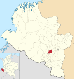 Location of the municipality and town of Guaitarilla in the Nariño Department of Colombia. | |
| Country |  Colombia Colombia |
| Department | Nariño Department |
| Area [1] | |
| • Total | 121 km2 (47 sq mi) |
| Population (Census 2018[2]) | |
| • Total | 10,774 |
| • Density | 89/km2 (230/sq mi) |
| Time zone | UTC-5 (Colombia Standard Time) |
Guaitarilla is a town and municipality in the Nariño Department, Colombia.
References
- v
- t
- e
Municipalities in the Nariño Department
- Albán
- Aldana
- Ancuya
- Arboleda
- Barbacoas
- Belén
- Buesaco
- Chachagüí
- Colón (Génova)
- Consaca
- Contadero
- Córdoba
- Cuaspud
- Cumbal
- Cumbitara
- El Charco
- El Peñol
- El Rosario
- El Tablón
- El Tambo
- Francisco Pizarro
- Funes
- Guachucal
- Guaitarilla
- Gualmatán
- Iles
- Imués
- Ipiales
- La Cruz
- La Florida
- La Llanada
- La Tola
- La Unión
- Leiva
- Linares
- Los Andes
- Magüí Payán
- Mallama
- Mosquera
- Nariño
- Olaya Herrera
- Ospina
- Pasto
- Policarpa
- Potosí
- Providencia
- Puerres
- Pupiales
- Ricaurte
- Roberto Payán
- Samaniego
- San Bernardo
- Sandona
- San Lorenzo
- San Pablo
- San Pedro de Cartago
- Santa Barbara
- Santacruz
- Sapuyes
- Taminango
- Tangua
- Tumaco
- Tuquerres
- Yacuanquer

1°08′00″N 77°33′23″W / 1.13333°N 77.5564°W / 1.13333; -77.5564
 | This Department of Nariño location article is a stub. You can help Wikipedia by expanding it. |
- v
- t
- e


